このページは前リリースの情報です。該当の英語のページはこのリリースで削除されています。
点群の処理
R2026a点群とは、3 次元空間におけるデータ点の集合です。点のまとまりは 3D 形状またはオブジェクトを表します。データ セットの各点は、x、y、z の幾何学的座標で表されます。点群は、多数の単一の空間測定値を、記述可能なオブジェクトとして表現されるデータセットにまとめる手段を提供します。点群処理はロボットの操縦および認識、深度推定、ステレオ ビジョン、視覚レジストレーション、および先進運転者支援システム (ADAS) といった分野で使用されています。Computer Vision Toolbox™ のアルゴリズムは、点群のダウンサンプリング、ノイズ除去、および変換を行うための点群処理機能を提供します。また、このツールボックスには点群のレジストレーション、幾何学的形状の 3 次元点群への近似、点群の読み取り、書き込み、保存、表示、比較を行う機能が備わっています。複数の点群を組み合わせて 3 次元シーンを再構築したり、レジストレーションされた点群を使用してマップを作成したり、ループ閉じ込みを検出したり、マップを最適化してドリフトを修正したり、事前作成したマップで位置推定を実行したりできます。詳細については、を参照してください。
"点群レジストレーション" (2 つ以上の点群を単一の座標系に揃えるプロセス) を実行するには、通常、基準 ("固定") 点群として 1 つの点群から始めて、次に他の ("移動") 点群をそれに揃えます。点群の "絶対姿勢" とは、基準フレーム (ワールド座標系とも呼ばれる) に対する全体的な位置と向きを指します。Computer Vision Toolbox は、移動点群を固定点群にレジストレーションするためのさまざまなレジストレーション手法を提供します。これらの手法には、反復最近接点 (ICP)、正規分布変換 (NDT)、位相相関、コヒーレント点ドリフト (CPD) が含まれます。また、LiDAR レジストレーション アナライザー (Point Cloud Toolbox) アプリを使用して、さまざまなレジストレーション手法、調整パラメーター、前処理ステップを使用した結果を対話的にレジストレーションし、比較することもできます。
関数
ブロック
 | Point Cloud Viewer | Visualize streaming point cloud data sequence (R2023a 以降) |
トピック
- Choose SLAM Workflow Based on Sensor Data
Choose the right simultaneous localization and mapping (SLAM) workflow and find topics, examples, and supported features.
- 深層学習を使用した点群入門
深層学習に点群を使用する方法を理解します。
- 深層学習を使用した点群入門
深層学習に点群を使用する方法を理解します。
- 検出されたオブジェクトを可視化する関数の選択
可視化関数を比較する。
- ラベル付け、セグメンテーション、検出 (Point Cloud Toolbox)
深層学習アルゴリズムと幾何学的アルゴリズムを使用した点群データのオブジェクトのラベル付け、セグメンテーション、検出、分類
注目の例
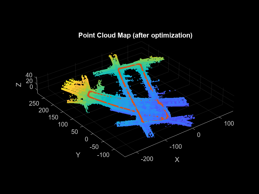
SLAM を使用した LiDAR データからのマップの作成
自己位置推定と環境地図作成の同時実行を使用して、LiDAR データを処理し、マップの作成と車両の軌跡の推定を行います。
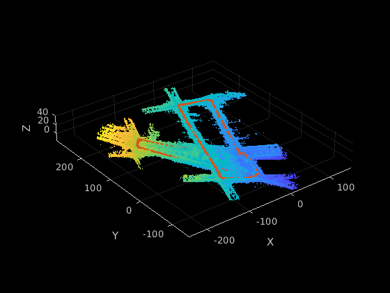
GPU での SLAM の使用による LiDAR データからのマップ作成
NVIDIA® GPU で 3 次元の自己位置推定と環境地図作成の同時実行 (SLAM) を行う。
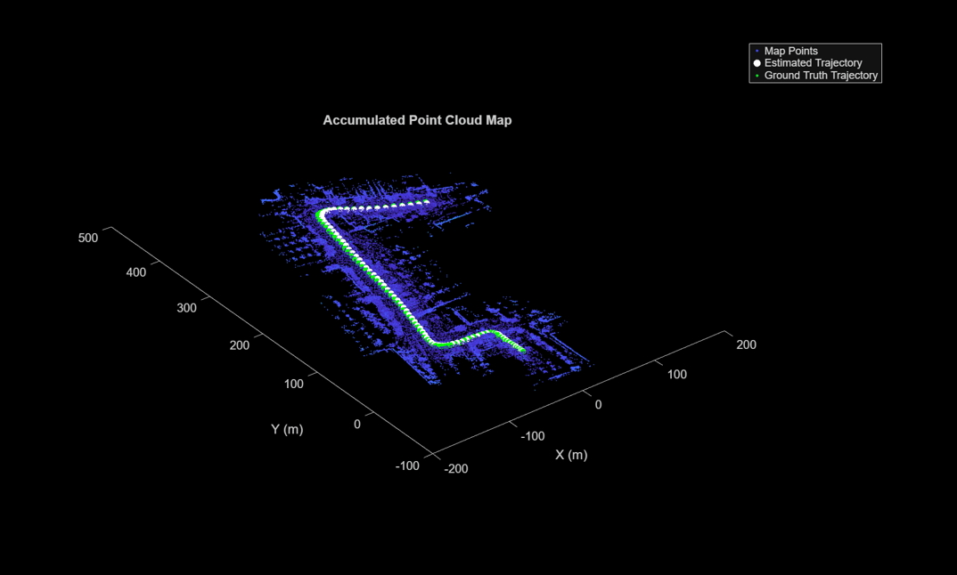
LiDAR データからのマップの作成
慣性計測ユニット (IMU) の読み取り値を利用し、3 次元 LiDAR センサー データを処理して、徐々にマップを作成します。
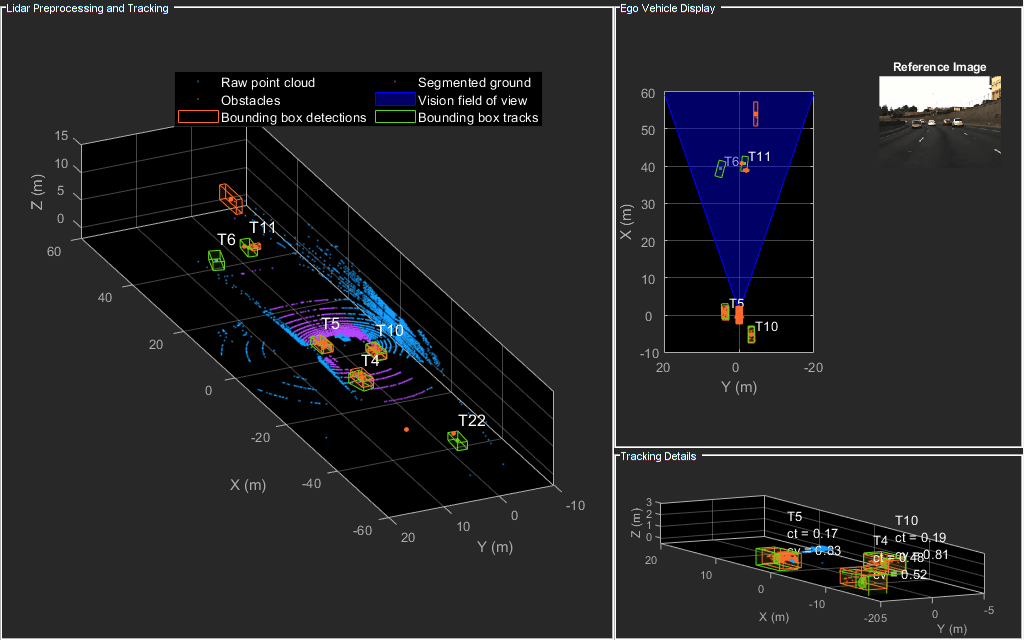
LiDAR データを使用した車両の検出と追跡
自車の上に取り付けられた LiDAR センサーからの測定値を使用して車両を追跡します。
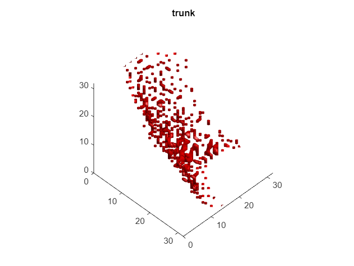
3 次元点群内のオブジェクトを分類するための分類ネットワークの学習
3 次元点群内のオブジェクトを分類するために、分類ネットワークの学習を行います。
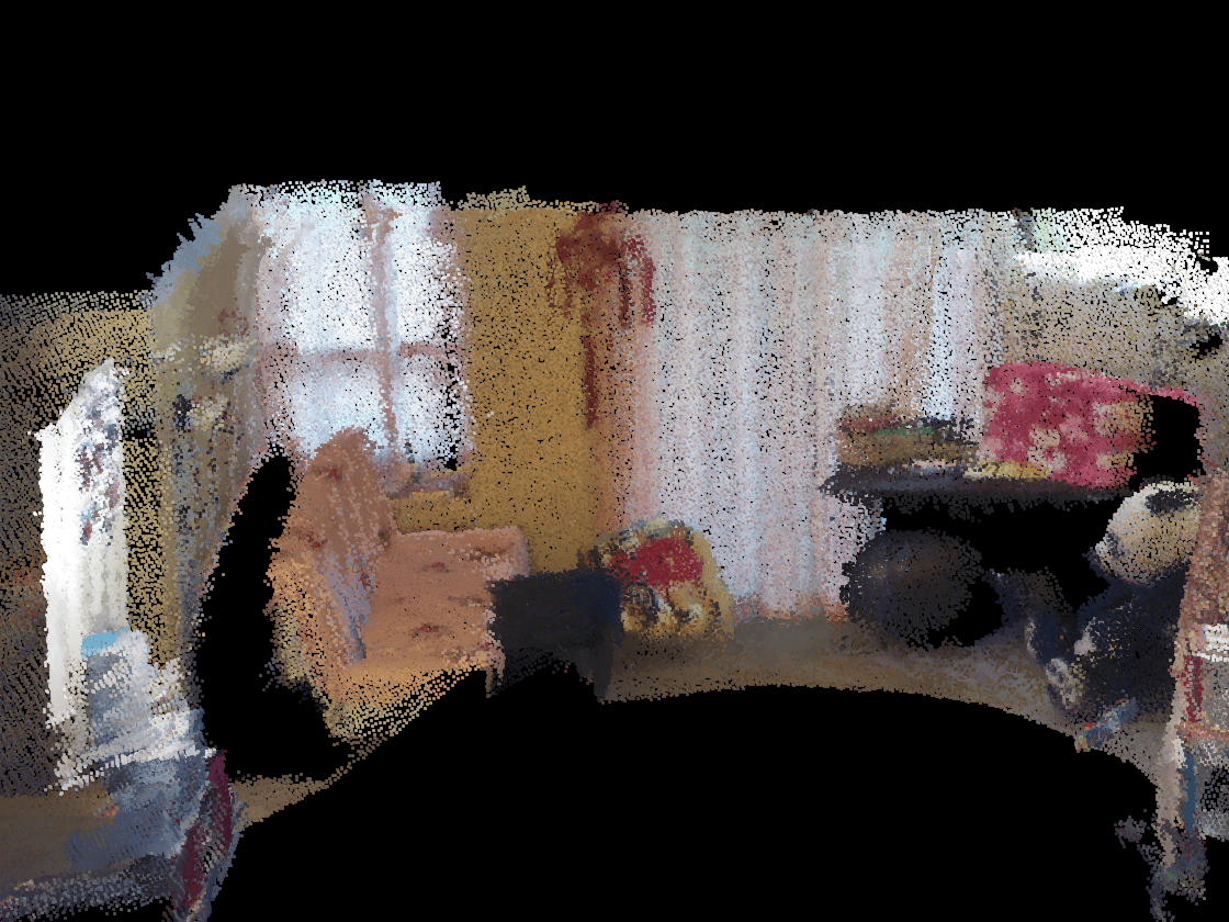
3 次元点群のレジストレーションと繋ぎ合わせ
この例では、反復最近接点 (ICP) アルゴリズムにより複数の点群を組み合わせて 3 次元シーンを再構成する方法を説明します。次に、点群で利用可能な色情報を活用してシーンの精度を向上させる方法を示します。
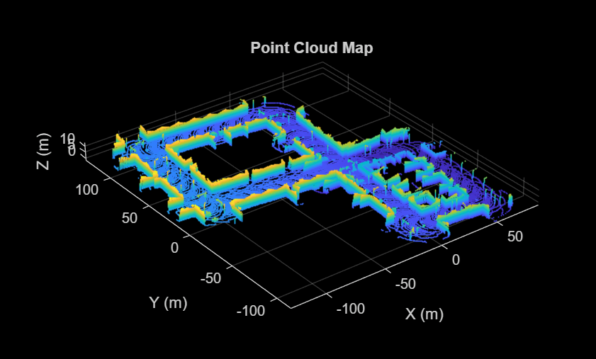
Design Lidar SLAM Algorithm Using Unreal Engine Simulation Environment
Record synthetic sensor data from a 3-D simulation environment, and develop a simultaneous localization and mapping (SLAM) algorithm using the recorded data.
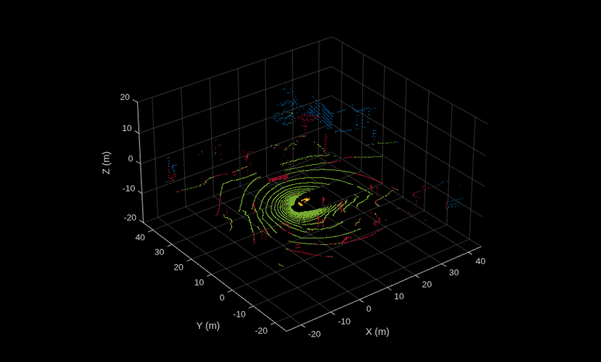
LiDAR を使用したグランド プレーンと障害物の検出
グランド プレーンをセグメント化して車両に取り付けられたセンサーからの 3 次元 LiDAR データを処理し、近くの障害物を見つける。

