SLAM
R2026b自己位置推定と環境地図作成の同時実行 (SLAM) は、地図作成と位置推定アルゴリズムの両方を使用して、マップを作成すると同時にそのマップ内におけるビークルの位置を推定します。LiDAR スキャンとオドメトリ姿勢推定を処理する独自の SLAM アルゴリズムを調整し、対話的にマップを作成するには、lidarSLAM を使用します。記録され、フィルター処理されたデータを受け取り、SLAM を使用してマップを作成するには buildMap を使用します。SLAM マップ ビルダー アプリでは、相対姿勢の変更とスキャンの調整を手動で行ってマップの精度を向上できます。
SLAM とは何か、および他の MATLAB® ツールボックスの他の SLAM ツールの詳細については、SLAM とは? を参照してください。
アプリ
| SLAM マップ ビルダー | LiDAR ベースの SLAM を使用して 2 次元グリッド マップを作成 |
関数
monovslam | Visual simultaneous localization and mapping (vSLAM) and visual-inertial sensor fusion with monocular camera (R2025a 以降) |
rgbdvslam | Feature-based visual simultaneous localization and mapping (vSLAM) and visual-inertial sensor fusion with RGB-D camera (R2025a 以降) |
stereovslam | Feature-based visual simultaneous localization and mapping (vSLAM) and visual-inertial sensor fusion with stereo camera (R2025a 以降) |
ekfSLAM | 拡張カルマン フィルターを使用した自己位置推定と環境地図作成の同時実行 |
factorGraph | Graph-based framework for multisensor state estimation (R2022a 以降) |
importFactorGraph | Import factor graph from g2o log file (R2022a 以降) |
factorIMU | Convert IMU readings to factor (R2022a 以降) |
factorGPS | Factor for GPS measurement (R2022a 以降) |
factorTwoPoseSE2 | Factor relating two SE(2) poses (R2022a 以降) |
factorTwoPoseSE3 | Relative pose factor connecting two SE(3) poses (R2022a 以降) |
factorTwoPoseSIM3 | Factor relating two SIM(3) poses (R2025a 以降) |
factorPoseSE2AndPointXY | Factor relating SE(2) position and 2-D point (R2022b 以降) |
factorPoseSE3AndPointXYZ | Factor relating SE(3) position and 3-D point (R2022b 以降) |
factorIMUBiasPrior | Prior factor for IMU bias (R2022a 以降) |
factorVelocity3Prior | Prior factor for 3-D velocity (R2022a 以降) |
factorPoseSE3Prior | Full-state prior factor for SE(3) pose (R2022a 以降) |
factorTransformSE3Prior | Full-state prior factor for SE(3) transform (R2026a 以降) |
factorCameraSE3AndPointXYZ | Factor relating SE(3) camera pose, 3-D landmark point, and optional sensor transform (R2023a 以降) |
estimateGravityRotation | Estimate gravity rotation using factor graph optimization (R2023a 以降) |
estimateGravityRotationAndPoseScale | Estimate gravity rotation and pose scale using factor graph optimization (R2023a 以降) |
estimateCameraIMUTransform | Estimate transformation from camera to IMU sensor using calibration data (R2024a 以降) |
poseGraph | 2 次元姿勢グラフの作成 |
poseGraph3D | 3 次元姿勢グラフの作成 |
poseGraphSolverOptions | Solver options for pose graph optimization |
optimizePoseGraph | Optimize nodes in pose graph |
trimLoopClosures | Optimize pose graph and remove bad loop closures |
poseplot | 3 次元姿勢プロット |
トピック
- Choose SLAM Workflow Based on Sensor Data
Choose the right simultaneous localization and mapping (SLAM) workflow and find topics, examples, and supported features.
- Factor Graph for SLAM
Learn about factor graph and how it use it for SLAM applications.
注目の例
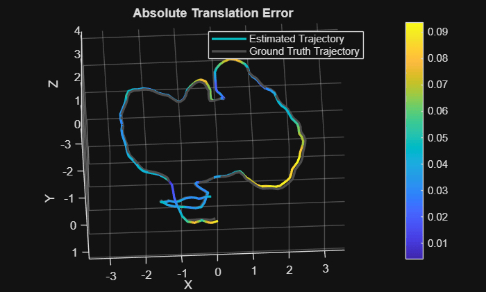
Performant and Deployable Monocular Visual SLAM
Visual simultaneous localization and mapping (vSLAM) refers to the process of calculating the position and orientation of a camera with respect to its surroundings while simultaneously mapping the environment. Applications for vSLAM include augmented reality, robotics, and autonomous driving. In this example, the algorithm uses only visual inputs from the camera.
- R2024a 以降
- ライブ スクリプトを開く
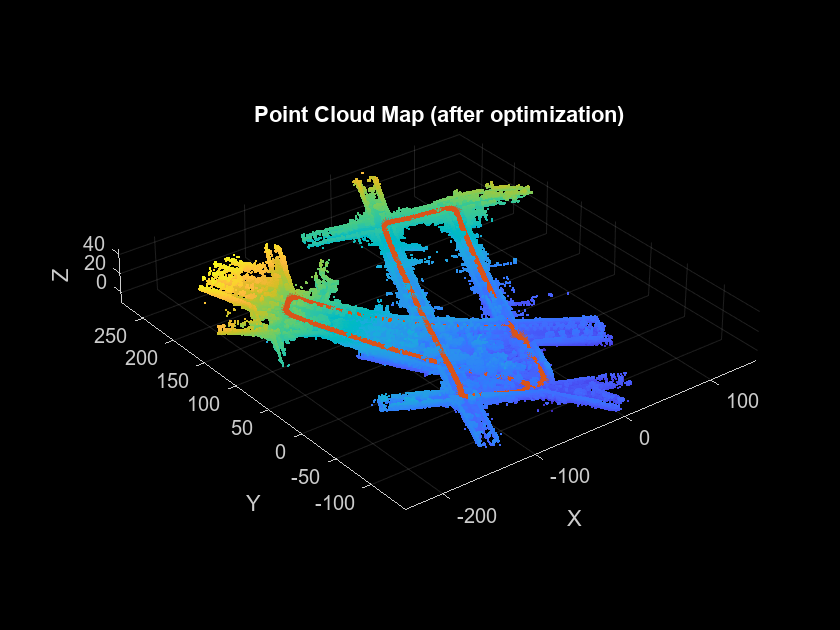
Build a Map from Lidar Data Using SLAM
Process 3-D lidar data from a sensor on a vehicle to progressively build a map and estimate the trajectory using SLAM.
- R2024a 以降
- ライブ スクリプトを開く
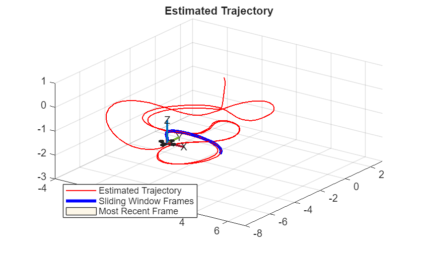
Monocular Visual-Inertial Odometry (VIO) Using Factor Graph
Implement monocular visual-inertial odometry to localize a UAV using camera and IMU data, optimized by a factor graph.
- R2023b 以降
- ライブ スクリプトを開く
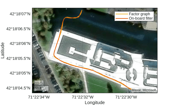
Factor Graph-Based Pedestrian Localization with IMU and GPS Sensors
Estimate the position of a pedestrian using logged sensor data from an inertial measurement unit (IMU) and Global Positioning System (GPS) receiver and a factor graph.
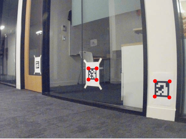
Landmark SLAM Using AprilTag Markers
Combine robot odometry data and AprilTag markers to implement SLAM with a factor graph and pose graph, and compare the results.
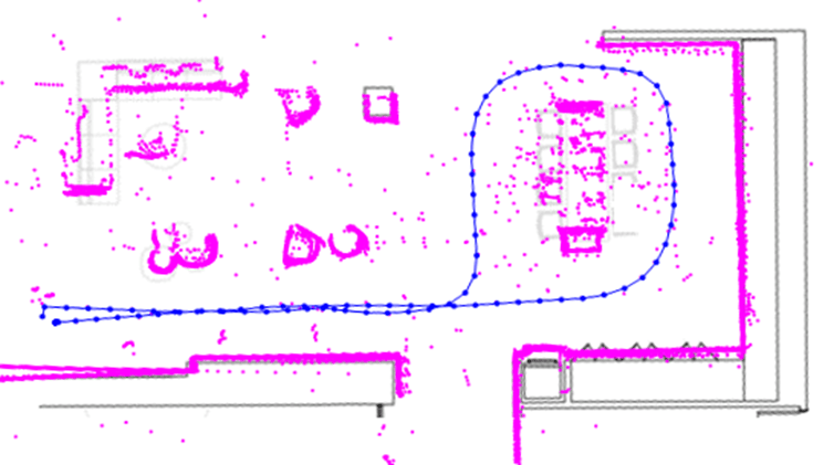
Map Indoor Area Using Lidar SLAM and Factor Graph
Implement offline lidar SLAM on collected lidar scans to map an indoor area using a factor graph and lidar scan map.
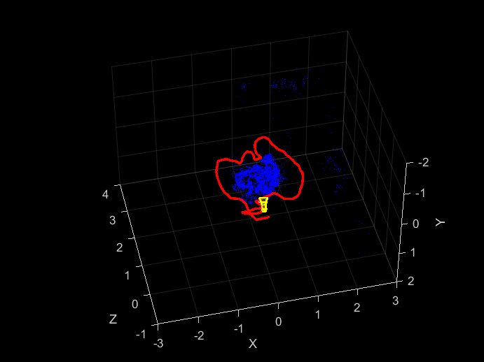
Build and Deploy Visual SLAM Algorithm with ROS in MATLAB
Implement a monocular visual SLAM algorithm to estimate camera poses and deploy generated C++ code using ROS.
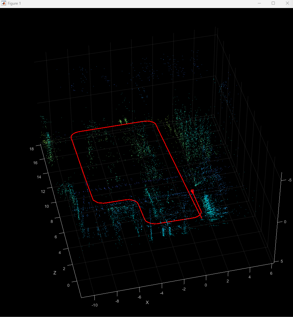
Simulate RGB-D Visual SLAM System with Cosimulation in Gazebo and Simulink
Use RGB and depth images from a robot to simulate a RGB-D visual SLAM system in Simulink.
- R2024b 以降
- ライブ スクリプトを開く
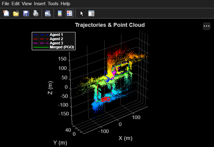
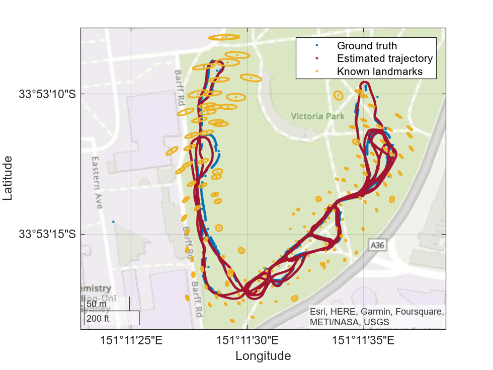
Map Large Environments Using Multi-Agent Collaborative SLAM
Map a large environment using multiple stereo-camera agents that independently run visual SLAM, detect shared locations via visual place recognition, and merge their maps through pose graph optimization.
(Computer Vision Toolbox)
- R2026b 以降
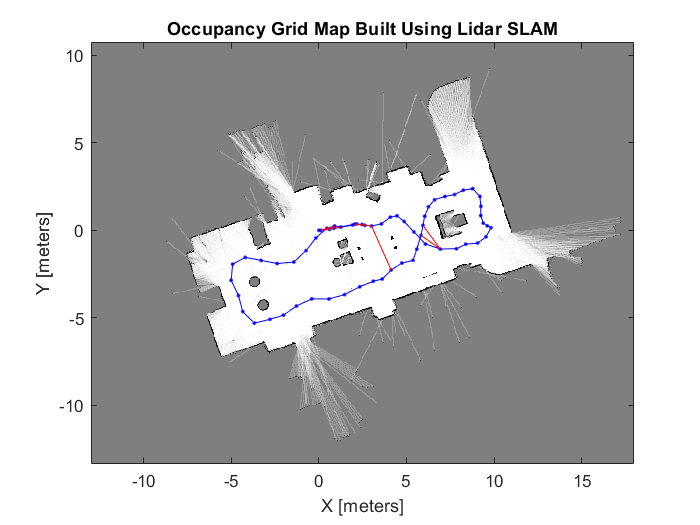
LiDAR スキャンでの自己位置推定と環境地図作成の同時実行 (SLAM) の実装
姿勢グラフと LiDAR スキャンの一連のコレクションを使用してオフライン SLAM を実装し、環境のマップを作成する。
MATLAB Command
You clicked a link that corresponds to this MATLAB command:
Run the command by entering it in the MATLAB Command Window. Web browsers do not support MATLAB commands.
Web サイトの選択
Web サイトを選択すると、翻訳されたコンテンツにアクセスし、地域のイベントやサービスを確認できます。現在の位置情報に基づき、次のサイトの選択を推奨します:
また、以下のリストから Web サイトを選択することもできます。
最適なサイトパフォーマンスの取得方法
中国のサイト (中国語または英語) を選択することで、最適なサイトパフォーマンスが得られます。その他の国の MathWorks のサイトは、お客様の地域からのアクセスが最適化されていません。
南北アメリカ
- América Latina (Español)
- Canada (English)
- United States (English)
ヨーロッパ
- Belgium (English)
- Denmark (English)
- Deutschland (Deutsch)
- España (Español)
- Finland (English)
- France (Français)
- Ireland (English)
- Italia (Italiano)
- Luxembourg (English)
- Netherlands (English)
- Norway (English)
- Österreich (Deutsch)
- Portugal (English)
- Sweden (English)
- Switzerland
- United Kingdom (English)