このページは前リリースの情報です。該当の英語のページはこのリリースで削除されています。
ベクトルおよびラスター地図表示
地図上にベクトルまたはラスター データを表示する
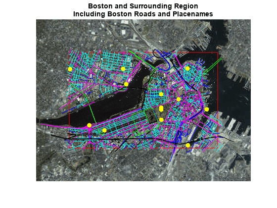
ベクトル データは、ポイント、ライン、ポリゴンを使用してイベント、場所、オブジェクトを表します。たとえば、都市は点を使用して、川はラインを使用して、国は多角形を使用して表すことができます。ラスター データは、衛星画像や地形の標高グリッドなどのグリッド データをマトリックス形式で保存します。これらの関数を使用して、ベクトル データとラスター データをマップ上に表示します。
関数
プロパティ
| Point Properties | Geographic point appearance and behavior (R2022a 以降) |
| Line Properties | Geographic chart line appearance and behavior (R2022a 以降) |
| Polygon Properties | Geographic polygon appearance and behavior (R2022a 以降) |
| IconChart Properties | Icon chart appearance and behavior (R2024b 以降) |
トピック
ベクトル地図表示
- Display Vector Data as Points and Lines
Display vector data using discrete points, and connect the points with a great circle track and a rhumb line track. - Display Vector Data as Lines and Patches
Display vector data using connected line segments and closed polygons. - Create Maps Using Icons
Use icons on maps to represent and display data, animate movement along paths, and annotate basemaps. (R2024b 以降) - Control Color and Transparency of Icon Chart
Change the color or hide the background of an icon by using the color and transparency properties of the icon chart object. (R2024b 以降)
ラスター地図表示
- Fit Gridded Data to Graticule
A graticule is a grid of meridians and parallels that guides the placement of features on a map. A finer graticule provides greater precision and requires more effort and time. - Create 3-D Displays with Raster Data
This example shows how to create a 3-D display of raster data, where the z-coordinate represents the data values. Change the viewpoint to get the appearance of depth in the map.
注目の例

Create Map Displays with Geographic Data
Import geographic data with coordinates in latitude and longitude, display geographic data in a map display, and customize the display.
Create Maps with Data in Projected Coordinate Reference Systems
Create a map using multiple data sets with coordinates in geographic and projected coordinate reference systems.