Main Content

地図作成と位置推定

LiDAR スキャンによる地図作成、粒子フィルターによる位置推定

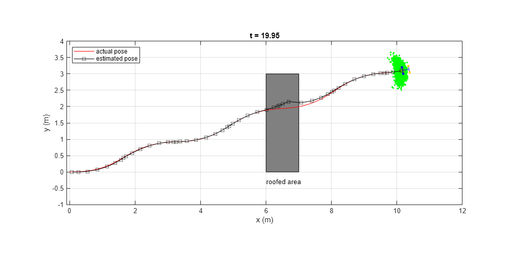
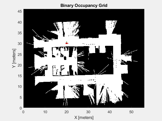
占有グリッドを使用して環境のマップを作成し、ロボットからの LiDAR センサー データを使用して、サンプリングベースの再帰ベイズ推定アルゴリズムを使用して位置推定を行います。

関数

すべて展開する

binaryOccupancyMapバイナリ値の占有グリッドを作成
getOccupancyGet occupancy value of locations
inflate各占有位置のインフレーション
moveMove map in world frame (R2019b 以降)
occupancyMatrix占有グリッドを行列に変換
raycastCompute cell indices along a ray (R2019b 以降)
lidarScan2 次元 LIDAR スキャンを保存するためのオブジェクトの作成 (R2019b 以降)
plotレーザーまたは LIDAR スキャンの読み取り値の表示
removeInvalidDataRemove invalid range and angle data
transformScanTransform laser scan based on relative pose
stateEstimatorPF粒子フィルターの状態推定器の作成
initializeInitialize the state of the particle filter
predictPredict state of robot in next time step
correctAdjust state estimate based on sensor measurement
getStateEstimateExtract best state estimate and covariance from particles

トピック

地図作成

状態の推定