このページは機械翻訳を使用して翻訳されました。最新版の英語を参照するには、ここをクリックします。
地球儀ディスプレイ
地球儀表示関数を使用して、地形、高ズームレベルのベースマップ、その他のサーフェス上の 3D データを可視化。地球儀の表示をインタラクティブに操作したり、カメラの位置と回転角度を設定してプログラムでビューを変更したりできます。
関数
トピック
- Access Basemaps and Terrain for Geographic Globe
The geographic globe plots data over basemaps and terrain. Download some of these basemaps or add custom basemaps and terrain.
- Use Basemaps in Offline Environments
Display data over basemaps when MATLAB® has temporary or no internet access.
- Create Interactive Basemap Picker
Interactively change the basemap of a geographic globe by using a drop-down menu.
- 標高から楕円体高を求める
正射高度とジオイド モデルを使用して、点の楕円体高を求めます。
注目の例

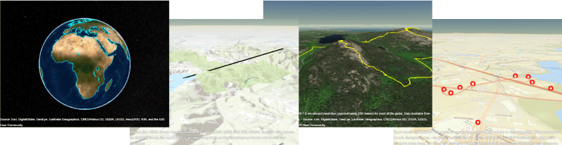
Visualize Aircraft Line-of-Sight over Terrain
Compute and visualize line-of-sight visibility of an aircraft from a ground location over terrain.

Visualize UAV Flight Path on 2-D and 3-D Maps
Simulate an unmanned aerial vehicle (UAV) flight using synchronized geographic axes and a geographic globe.

Radar Vertical Coverage over Terrain
Define an L-band radar system in the presence of heavy clutter and visualize its three-dimensional vertical coverage over terrain.