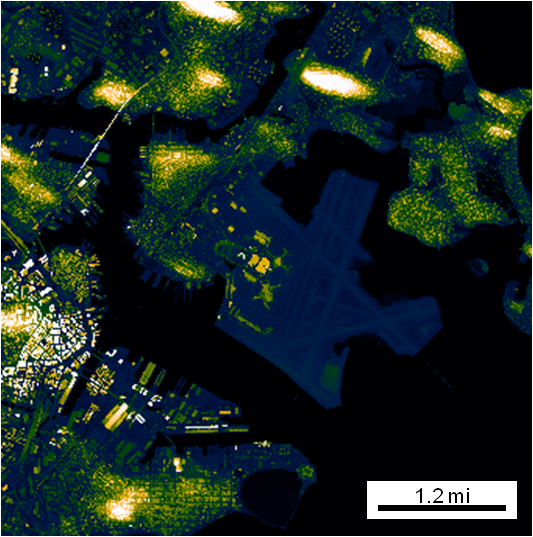
Automatic Map Scale Generation
Intelligently creates and places a scale on a figure based on the lat/lon limits.

現在この提出コンテンツをフォロー中です。
- フォローしているコンテンツ フィードに更新が表示されます。
- コミュニケーション基本設定に応じて電子メールを受け取ることができます
引用
Jonathan Sullivan (2026). Automatic Map Scale Generation (https://jp.mathworks.com/matlabcentral/fileexchange/33545-automatic-map-scale-generation), MATLAB Central File Exchange. に取得済み.
謝辞
ヒントを与えたファイル: gdistm, plot_openstreetmap, zoharby/plot_google_map

